
How Big Is Kanawa Island? Size, Hill & Geography
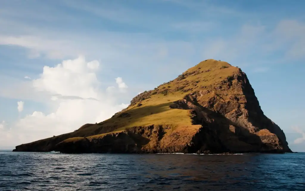 Photo: Jon Chia / Wikimedia Commons (CC BY 2.0)
Updated: August 2026
Kanawa Island is approximately 32 hectares — the figure Indonesia’s national tourism portal and the East Nusa Tenggara provincial tourism office both cite — though some general tourism sources round it to a broader 30–35 hectare range, and a separate land-law study puts the area under a specific resort operator’s management at 23 hectares. The island sits at roughly 8°30′ S, 119°45′ E in the Flores Sea, within West Manggarai Regency, East Nusa Tenggara. This page walks through both size figures, the island’s shape and hills, and exactly where it sits relative to Labuan Bajo and its island neighbours.
How Big Is Kanawa Island, Exactly?
There is no single official cadastral survey of Kanawa Island published for general reference, so the honest answer depends on which kind of source you consult — and the two categories give noticeably different numbers.
| Source type | Area cited | Example sources |
|---|---|---|
| National & provincial tourism promotion | ~30–35 hectares (32 ha most common) | Indonesia.travel, NTT provincial tourism office, multiple travel guides |
| Land-law / academic study | 23 hectares | Universitas Warmadewa land-law journal, on land under Kanawa Island & Resort’s management |
The tourism figure of around 32 hectares (roughly 80 acres) is the number repeated across Indonesia’s official tourism portal, the provincial tourism office for East Nusa Tenggara, and most travel and booking sites; a smaller number of sources round to 30 or 35 hectares instead, which is typical of descriptive, non-surveyed figures that get copied and rounded differently across publications.
A different figure comes from a more technical source: a land-control (penguasaan tanah) study published by Universitas Warmadewa’s law journal, examining land rights on Kanawa Island as a buffer zone to Komodo National Park. That paper states that 23 hectares of Kanawa is under the management of an Italian-invested company operating as Kanawa Island & Resort. This is very likely the area covered by that operator’s specific land-use right (such as an HGB-style building-use permit) rather than a full re-survey of the entire island, which is why it reads smaller than the tourism figure — it may describe a portion of the island rather than its complete land area. Our own Kanawa Island facilities guide separately notes that the island’s bungalow infrastructure was built by Italian investors through PT Kanawa Island Resort reportedly since around 2010 (Floresa.co, 2016), which is broadly consistent with this academic source’s identification of an Italian-invested management company.
Practical takeaway: for a rough sense of scale, treat Kanawa as an island you can walk end to end in well under an hour — commonly described as about 1.4 km long and 0.4 km wide — rather than fixating on a single hectare figure that no source has definitively confirmed with a modern survey.
Does Kanawa Island Have a Hill? How High Is It?
Yes — Kanawa is commonly described in tourism sources as having two low hills rising behind the main beach, reachable on a short walk, with a viewpoint over the strait toward the Komodo National Park islands. What we cannot responsibly give you is a precise elevation in metres: no source we could verify publishes a surveyed height for either hill, only qualitative descriptions of a modest, walkable rise rather than a serious hike. If you see a specific meter figure quoted elsewhere without a cited survey or topographic source, treat it as an estimate rather than a confirmed number. For what the climb itself is actually like — surface, gradient, and how manageable it is for children or less mobile visitors — see our Kanawa Island accessibility guide.
Where Is Kanawa Island Located?
Kanawa sits in the Flores Sea off the western tip of Flores island, at approximately 8°30′ S, 119°45′ E. Administratively, it falls under Kecamatan Komodo (Komodo District), the sub-district that also contains Labuan Bajo town, within West Manggarai Regency (Kabupaten Manggarai Barat), East Nusa Tenggara (NTT) province, Indonesia. The island lies roughly 11–15 km from Labuan Bajo harbour, directly along the boat corridor that runs from the town toward the central islands of Komodo National Park — for the fuller location breakdown and how to get there, see our Where Is Kanawa Island page.
What Islands Sit Near Kanawa?
Kanawa is one of a scatter of small islands between Labuan Bajo and the park’s larger islands, and several sit close enough to compare directly for a day trip:
- Bidadari Island — closer to Labuan Bajo (about 10 km, 10–30 minutes by boat) with a smaller, quieter reef; see our Kanawa vs Bidadari comparison.
- Sebayur Island — another near-bay island commonly grouped with Kanawa and Bidadari in island-hopping itineraries.
- Seraya Kecil — a small island slightly further out, also on the near-bay circuit.
- Kelor Island — known for a steeper hill climb and viewpoint, on the northern approach toward the park.
- Padar, Rinca and Komodo Island — the larger, better-known park islands further west, requiring a longer crossing and, for Komodo and Rinca, Komodo National Park entrance fees.
Note that Kanawa is a different place from Kenawa Island, a similarly-named island off Sumbawa in West Nusa Tenggara, hundreds of kilometres away — a one-letter mix-up that causes real confusion for travellers searching online.
Why Does the Island’s Small Size Matter for Visitors?
Geography shapes the whole visitor experience here more than most guides mention. Because Kanawa is small and low-lying, its fringing reef sits close to shore all the way around rather than requiring a long boat-positioned swim to reach open-water coral — this is the geographic reason the house reef works so well as a beginner-friendly, step-off-the-beach snorkel site. The island’s modest hills also mean there is no serious elevation change to navigate: the walk up is short and the terrain is dry scrub and grass rather than dense jungle, which is part of why a viewpoint climb is realistic even for casual visitors rather than only fit hikers. A small island with no built harbour infrastructure also means every visit depends entirely on your boat — there is no jetty of the scale you would find at a larger port, so anchoring position and tide both affect how easy the beach landing feels on any given day.
Is Kanawa Island Inside Komodo National Park?
Kanawa sits at the eastern approach to the park and is generally described as lying just outside its formal fee-collecting boundary, in the transitional waters between Labuan Bajo and the park’s core islands. In practice this means a Kanawa-only visit typically does not require a Komodo National Park entrance ticket, while itineraries that continue on to Padar, Rinca or Komodo Island do. If your route mixes Kanawa with those inner-park stops, budget for park fees on top of your boat fare — confirm the current breakdown with your operator, since the fee schedule is revised periodically.
What is the actual size of Kanawa Island in hectares?
The kanon figure is approximately 32 hectares, the most commonly repeated figure among tourism sources (some round to a broader 30–35 hectare range); a land-law academic source separately states 23 hectares for the portion managed under a specific resort operator’s land right, which likely describes part of the island rather than its full area.
How tall is the hill on Kanawa Island?
No verified, surveyed elevation is published for Kanawa’s hills. Sources describe two low, walkable hills with a viewpoint, but any specific metre figure you see elsewhere should be treated as an estimate rather than a confirmed measurement.
What are the coordinates of Kanawa Island?
Kanawa Island sits at approximately 8°30′ S latitude, 119°45′ E longitude, in the Flores Sea off the western tip of Flores, Indonesia.
Which regency and district is Kanawa Island part of?
Kanawa falls under Kecamatan Komodo (Komodo District) within West Manggarai Regency (Kabupaten Manggarai Barat), East Nusa Tenggara province — the same district that contains Labuan Bajo town.
Which islands are closest to Kanawa Island?
Bidadari and Sebayur sit on the same near-bay side as Kanawa and are often combined in island-hopping itineraries, while Kelor lies slightly further along the northern approach toward the park’s larger islands. Padar, Rinca and Komodo Island are further west and require a longer crossing.
Plan Your Visit With the Geography in Mind
Knowing the island’s real scale — small, walkable, with a modest hill rather than a serious trek — helps set the right expectations before you book. Trips to Kanawa Island are arranged through Komodo Luxury, part of Juara Holding Group, founded 2015. For a route built around the island’s actual layout and reef, see the speedboat charter options, or message Komodo Luxury on WhatsApp at +62 811-3810-8110 or email sales@komodoluxury.com for a same-day itinerary matched to your dates.
Plan Your Kanawa Island Visit
Practical Geography & Access Questions About Kanawa Island
How long is Kanawa’s main beach, and how does that relate to the island’s land area in hectares?
Kanawa’s commonly cited size of about 32 hectares lines up with what you feel on foot: roughly 1.4 km end to end and about 0.4 km at its widest. The most-used sandy arc on the eastern side runs for a few hundred metres, with smaller coves tapering off at each end. You can stroll the whole usable beach line slowly in under an hour, stopping to snorkel the house reef that starts around 30 metres from shore.
What should I know about mobile signal and connectivity on Kanawa Island?
Kanawa Island sits in open water in Komodo District, so reception is patchy. The strongest chance of a usable Kanawa Island mobile signal is Telkomsel, usually near the main landing beach or the hill base, but it can drop to zero without warning. Data is often too weak for video calls. Do not rely on Wi‑Fi or mains power; bring power banks, offline maps, and pre-downloaded tickets or confirmations.
How does Kanawa Island fit into a wider West Manggarai travel itinerary from Labuan Bajo?
For many visitors, Kanawa Island becomes the easy first stop in a wider Kanawa Island West Manggarai travel guide plan: snorkel the house reef, then continue deeper into Komodo National Park on a one-day or overnight boat. Operators in Labuan Bajo usually treat Kanawa as a flexible add-on to Padar, Rinca, or Manta Point. To combine Kanawa with other islands, browse structured routes on Komodo boat trips from Labuan Bajo and then request a customised stop at Kanawa.
Is Kanawa Island covered by Komodo National Park rules and daily visitor caps?
Kanawa Island lies just outside the formal Komodo National Park boundary, so a Kanawa-only outing normally does not trigger the park’s PNBP entrance fee or the SiOra 1,000-visitors-per-day quota. You may still pay an operator-set island access contribution on arrival. Once your route includes park stops like Padar or Rinca, standard park rules, fees, and caps apply. If you want Kanawa as a gentle snorkel stop at the start or end of a park day, speak with operators running Komodo speedboat charters that include Kanawa or similar custom routes.
To turn these Kanawa Island West Manggarai tourism notes into an actual day on the water, contact a licensed Labuan Bajo operator for a current boat quote and to confirm any island access contributions. Komodo Luxury can arrange Kanawa-only outings or combine it with park highlights via their Komodo one-day trip itineraries or longer Komodo liveaboard cruises. Reach them on WhatsApp at +62 811-3810-8110 or email sales@komodoluxury.com to check schedules and conditions before you go.
Kanawa through a lens — more from the Journal
Keep reading
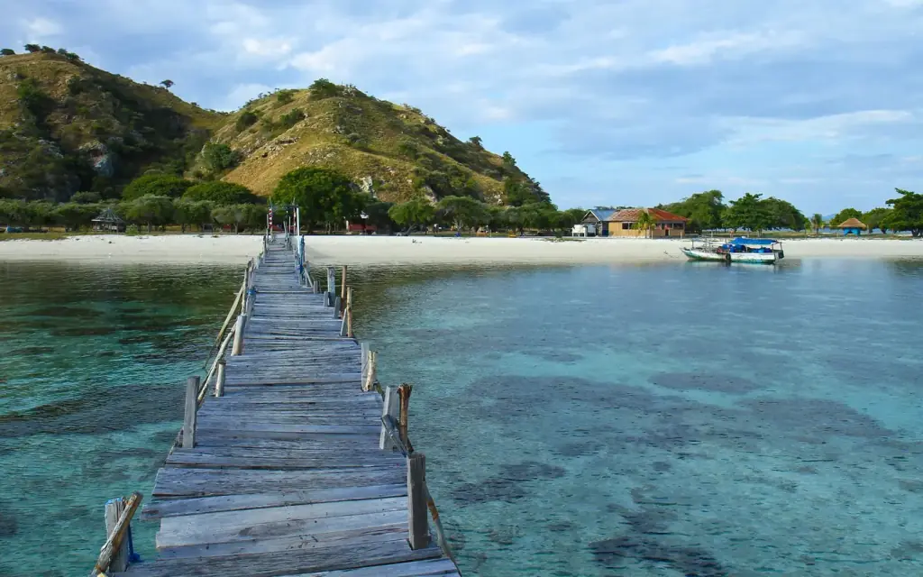
How Many Hours Do You Need on Kanawa Island?
Updated: August 2026 Most visitors need a minimum of 3 hours on Kanawa Island to snorkel the house reef properly and relax…
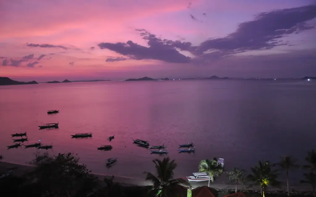
Sunrise or Sunset at Kanawa Island? Photographer Call
Updated: August 2026 Sunset wins for most photographers at Kanawa Island: the west-facing beach puts the sun going down directly over open…
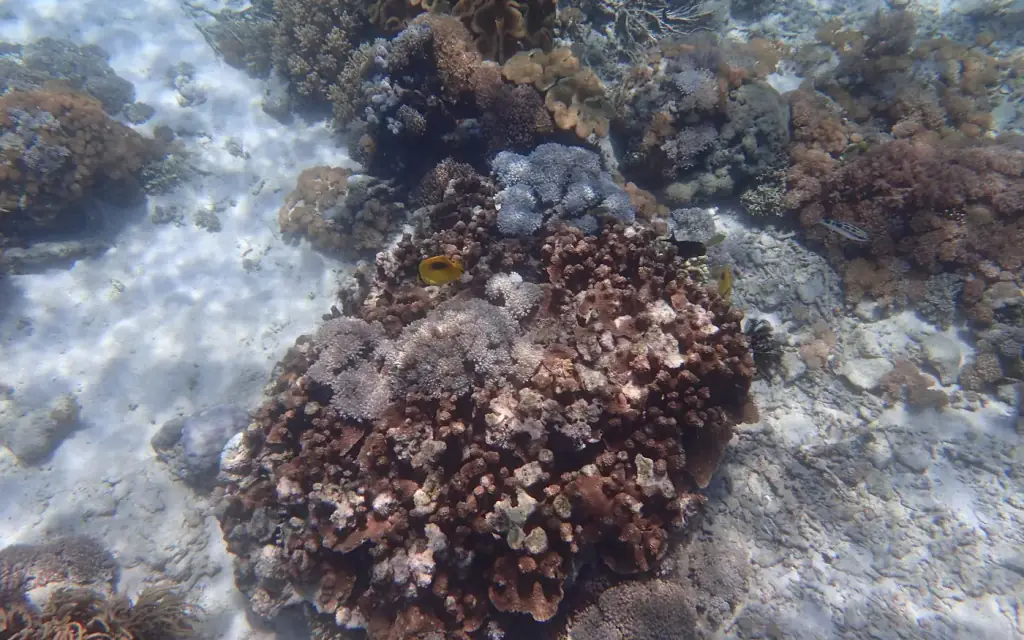
Kanawa Island Marine Life: Species You Actually See
Updated: August 2026 Kanawa Island’s house reef delivers classic Coral Triangle life within a short swim of the beach: reef-fish carpets of…
Planning a day around Kanawa?
Komodo Luxury sits in Labuan Bajo and checks conditions the evening before and the morning of every departure. Send your dates and you get a written quote — fares, inclusions, and park fees stated separately.